Best Places to Fly Drones in Iceland
Where drone flying is actually allowed in Iceland, plus the best spots for aerial footage — Fjaðrárgljúfur, Þakgil, Klifbrekkufossar, and more — with real regulations and hard-earned warnings.
Iceland is one of the best countries in the world for flying a drone. With its epic landscapes, canyons, stunning waterfalls, and fjords, it’s a paradise for capturing incredible drone footage. However, due to the increasing number of tourists, there are some restrictions on where you can fly your drone. Many popular tourist spots are designated as no-fly zones, and the regulations are constantly being updated, making it challenging to find the most current information.
In this guide, I’ll compile a list of spots where drone flying was allowed when I visited, along with some of my favorite locations. I’ll also include links to resources where you can find up-to-date information on drone regulations in Iceland.
Important sources of information
Tip: On top of this, please keep the general rules of drone flying in mind and avoid flying in risky conditions.
Fjaðrárgljúfur Canyon
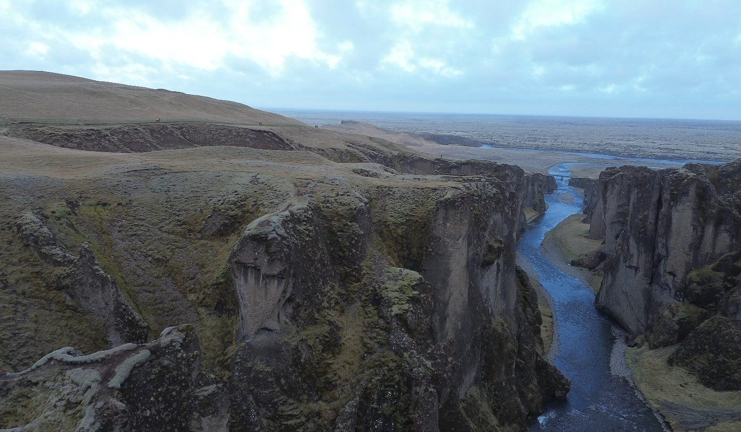
This is the first and only place in Iceland where I found a sign explicitly indicating that drone flying is permitted. It’s also one of the most stunning spots in the country, with a beautiful canyon perfect for capturing incredible drone footage — see it on foot in my best hikes in Iceland guide or as part of Day 6 of the Ring Road.
However, this location is popular for drone flying, so you’ll often find several other people flying drones at the same time. When I visited, there were already four people flying drones. Depending on everyone’s skill level, this can be risky.
Tip: Visit early in the morning or late in the evening to avoid the crowds.
Þakgil Canyon
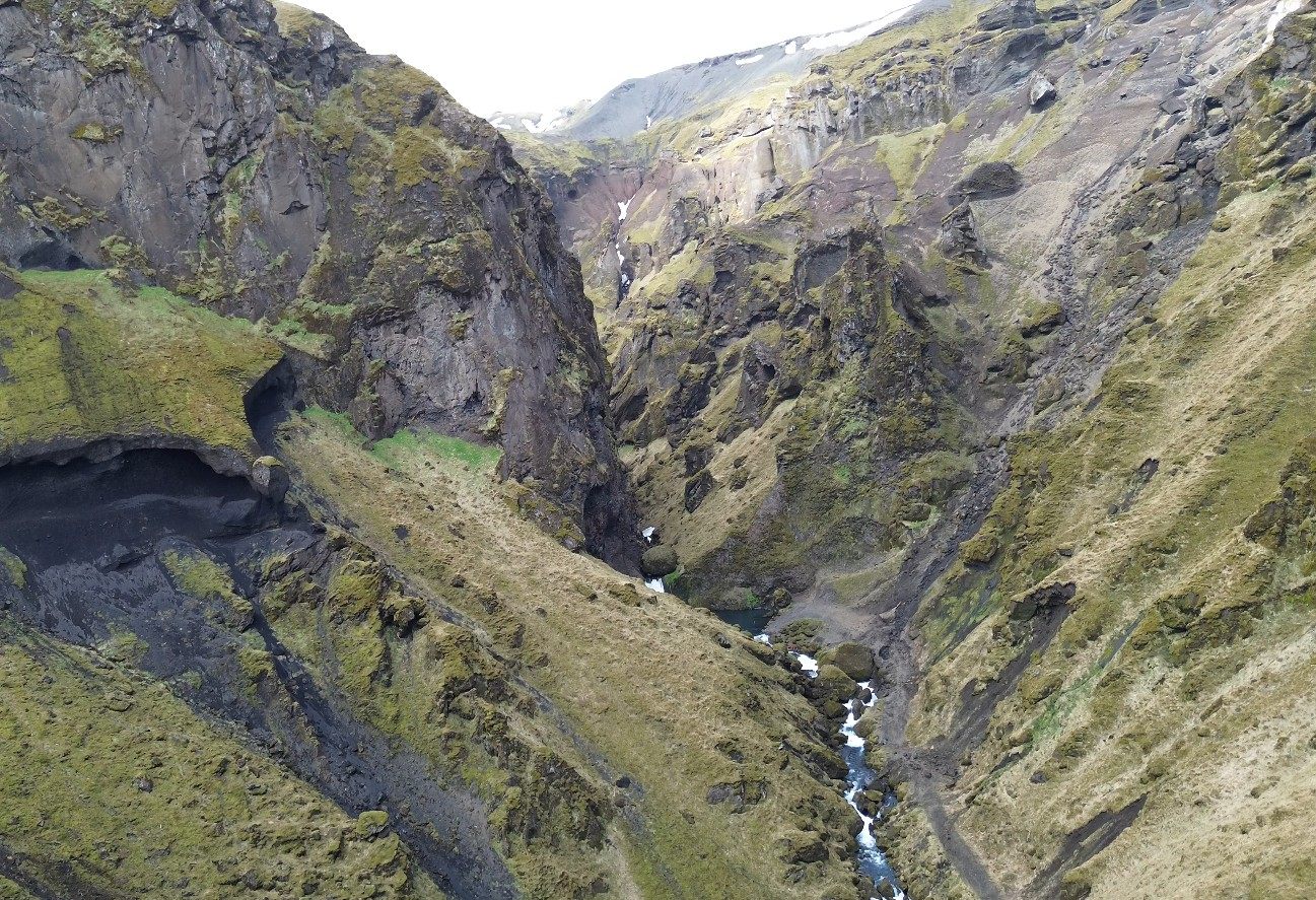
Another incredible spot where I captured some of the best footage from my trip. The only area where drone flying is prohibited is the campground. During the hike, I was able to capture some breathtaking, otherworldly landscapes and took a few shots while exploring the valley — read the full hike writeup here.
Katla Ice Cave
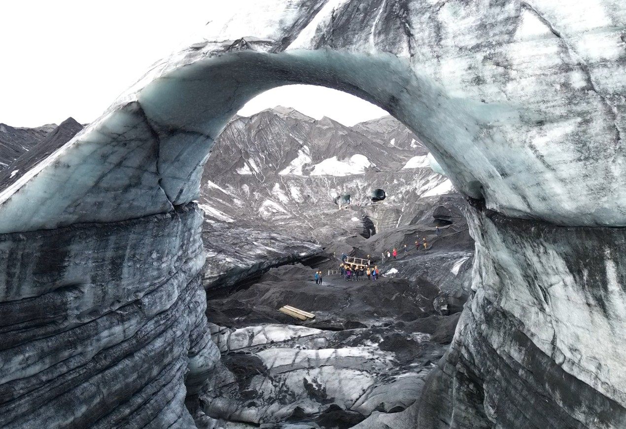
During our ice cave tour, I asked the guide if I could fly my drone, and they agreed as long as I did it within the short free time we had to explore. I managed to capture the iconic Instagram shot of a drone flying through the ice cave—like a gateway to another dimension.
The aerial view of the ice cave against the volcanic surroundings was equally stunning.
Glymur Waterfall
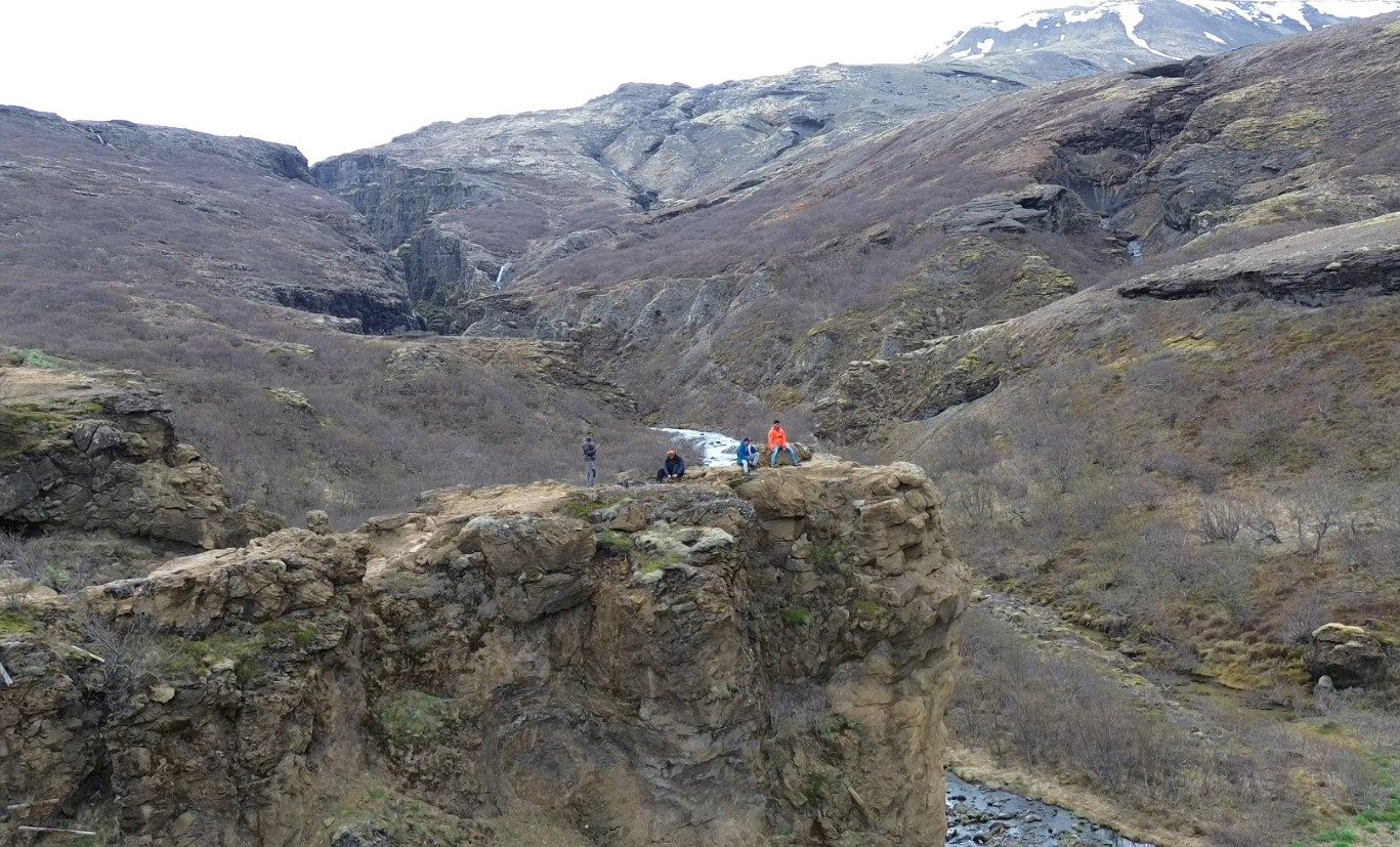
On the hike to Glymur Waterfall, there are several viewpoints overlooking the valley that offer incredible opportunities for drone photography. You can get creative and capture classic shots, like slowly pulling back to reveal the vastness of the valley while standing on a cliff. It's an easy add-on from Reykjavik — see my full Glymur hike guide for the trail itself.
Klifbrekkufossar
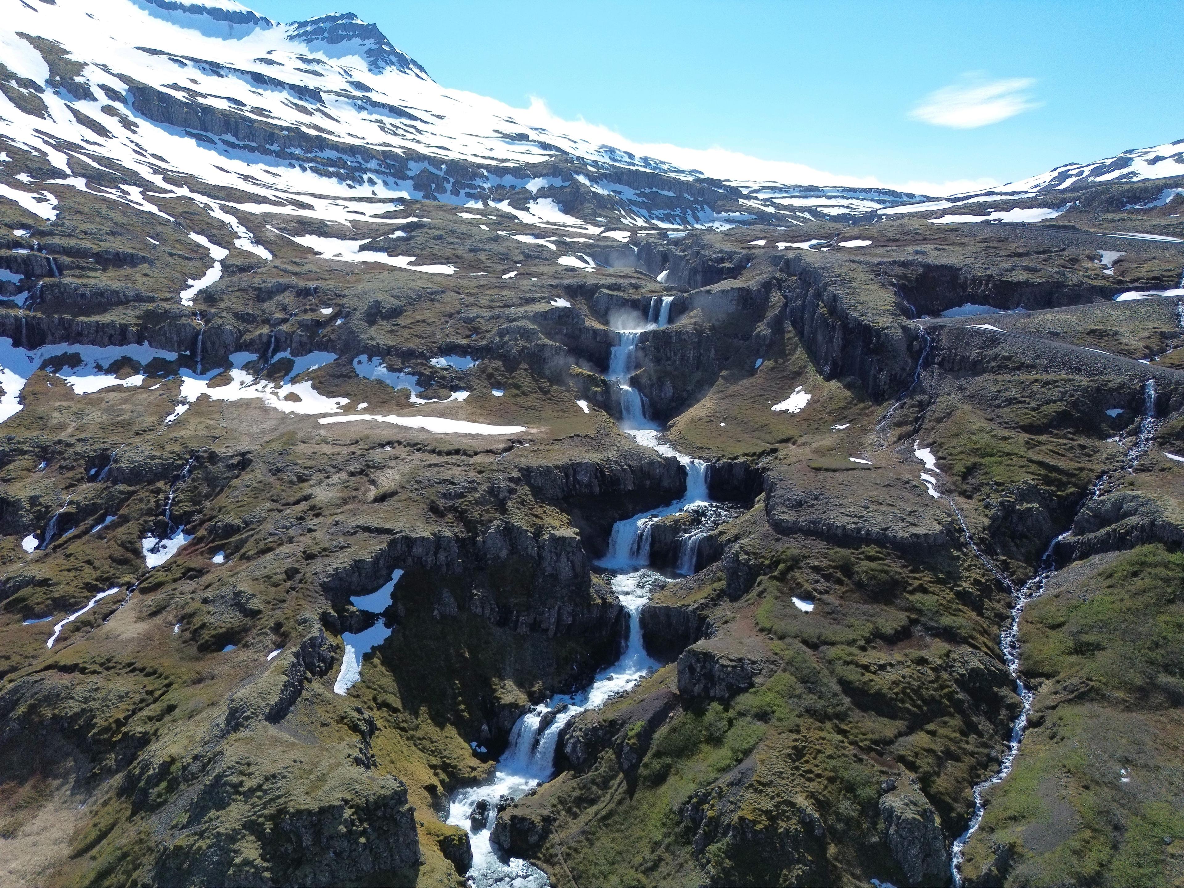
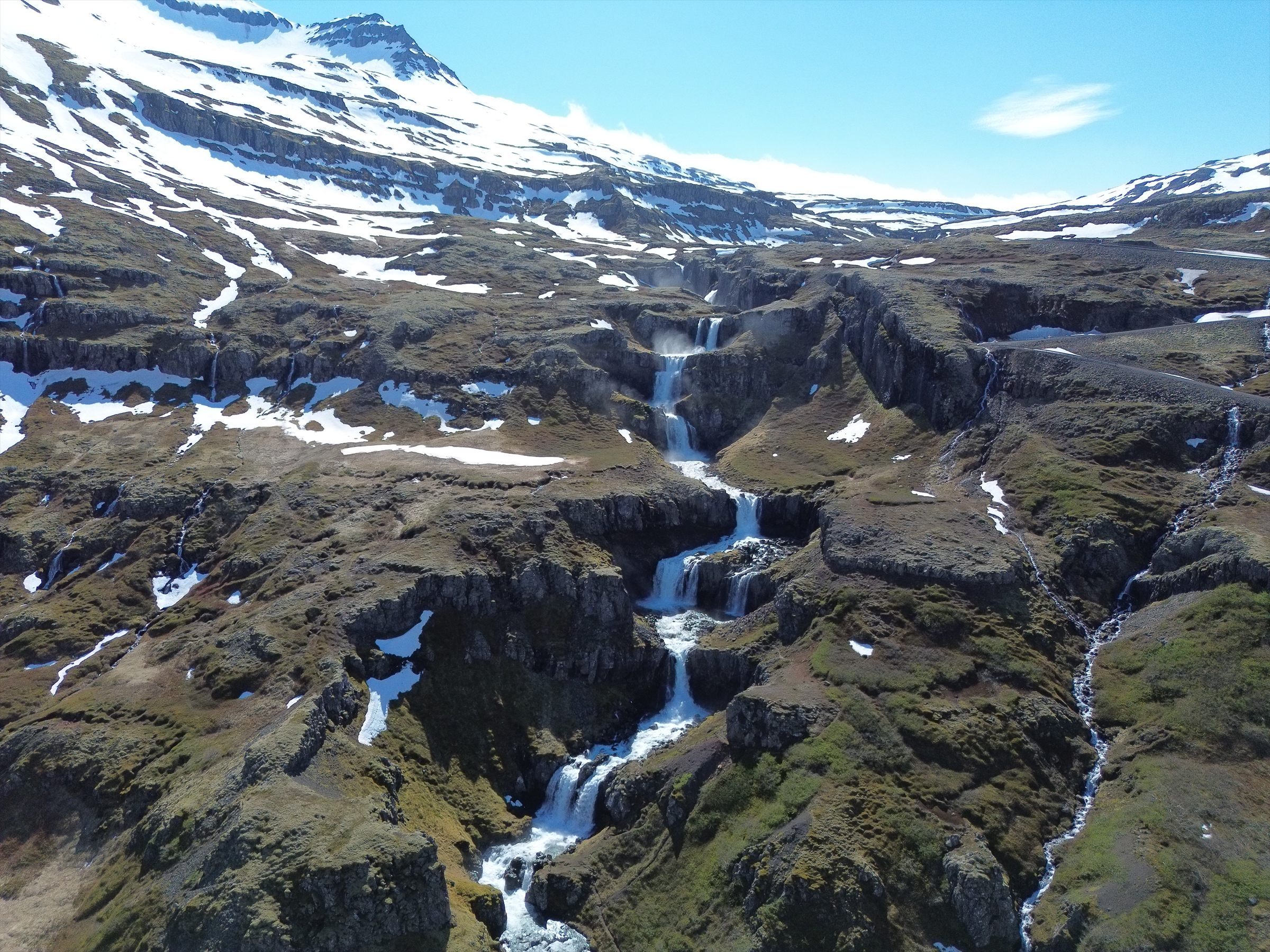
This multi-layered waterfall cascades into the sea at the mouth of a fjord, creating a perfect setting for an epic drone shot. It's a stop on Day 8 of the Ring Road, on the drive through the Eastfjords.
Stuðlagil Canyon — where I lost my drone
Another stop on Day 8 of the Ring Road, and the one place on this list I'd tell you to think hard about before you take off.
I lost my drone here. The hover feature stopped holding position, the controller lost signal, and the wind took the drone straight into a basalt column. It dropped into the canyon and that was that.
Worth being clear about what happened, because it changes the lesson: this wasn't pilot error. The communication between the remote and the drone stopped working properly in the canyon. The drone was a month old and still under warranty, and it was replaced.
Why this spot causes it:
- Basalt columns and a narrow canyon that break line of sight to the controller.
- Strong winds funnelled through the valley.
- Sensor interference — the tight walls can cost the drone its sense of position, which is what kills the hover.
If you fly here anyway, keep it high. The trouble starts when you drop down between the columns, which is exactly where the signal and the positioning fail together. Search Reddit before you go and you'll find plenty of people who lost drones in this same canyon.
I have no aerial footage from Stuðlagil to show you here. It went into the canyon with the drone.
Hraunfossar, Bruarfoss, and Þórufoss
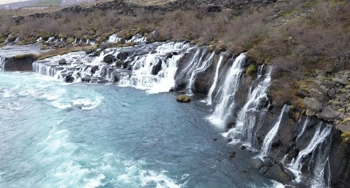
All three waterfalls are fantastic locations for drone shots, and all sit conveniently on Day 2 of the Ring Road:
- Hraunfossar & Bruarfoss: Can be crowded; harder to get shots without people.
- Þórufoss: Usually less crowded, providing great opportunities for unobstructed drone footage.
Enjoy flying and stay safe!